3430 publications
The Nuanced Relationship Between Public Opinion and Foreign Policy
Public sentiment is something decision-makers must contend with, especially in democratic states. However, the extent to which public opinion shapes foreign policy varies. Three Council of Councils experts in France, India, and Nigeria reflect on how public opinion does—and sometimes does not—affect foreign policy decisions.
Taking the Pulse: Enough with the Annual NATO Summits, Already?
Over the past ten years, NATO has held almost as many summits as it did during the entirety of the Cold War. Are they still useful, or is it time to stop holding annual meetings?

The Transfer Paradox. Rethinking Global Imbalances
Global imbalances have come back to the top of the policy agenda. Many analyses and reports have been produced over recent months. The standard prescription involves better coordination of macroeconomic policies, with three familiar recommendations: higher consumption in China, higher investment in Europe, and fiscal consolidation in the United States.
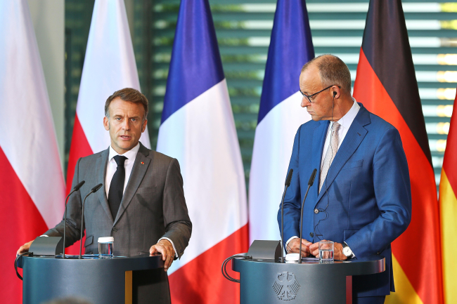
France-Germany: Overcoming Differences to Strengthen European Sovereignty
The Franco-German “reset” launched with Friedrich Merz’s appointment as Chancellor in May 2025 and given concrete form at the Franco-German Council of Ministers (FGCM) in Toulon in August 2025 was intended to address the structural challenges affecting the bilateral relationship. Yet it is clear that these ambitions have only been partially translated into concrete action. Since the beginning of 2026, Franco-German relations have entered a phase in which short-term challenges have combined with deeper divergences over priorities, policy approaches, and strategic culture.
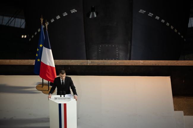
How does France’s nuclear deterrent contribute to the defense of Europe?
France’s nuclear deterrent, serving first and foremost to defend France’s vital interests, also contributes to the defense of Europe. This contribution has been recognized within the North Atlantic Alliance since 1974, but remains little known. In a speech closely followed by France’s European partners and its adversaries alike, President Emmanuel Macron announced a new concept for French nuclear deterrence: “forward deterrence” (dissuasion avancée). This article aims to explain the origins of this concept, outline its main pillars, and describe the partnerships that are sought. It then discusses the relationship with the U.S. doctrine of “extended deterrence”, and finally offers some ethical considerations.
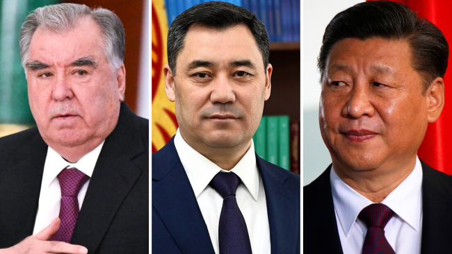
China in Kyrgyzstan and Tajikistan: From Economic Presence to a New Security Role
Over the past three decades, China’s influence in Central Asia has steadily expanded, but in the last three to five years this process has entered a markedly accelerated phase. Following 2022, Beijing effectively revised both its strategy and its operational approach toward the region.
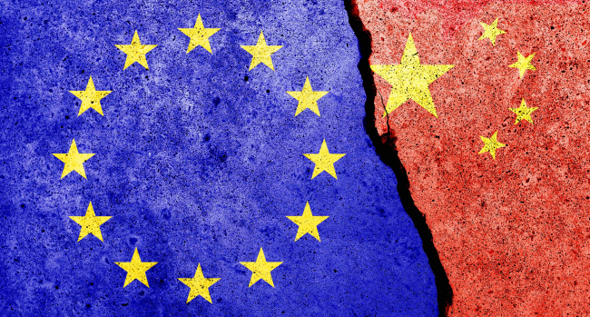
Fragmented Europe: Dealing with China as a technology and innovation power
How is Europe navigating China’s ascension as a technological power? The latest report by the European Think-tank Network on China (ETNC) provides a nuanced account of a converging, yet still fragmented approach across 22 countries.