



Toward Space-Based Intelligence for All? The Case of the Spring 2026 Iranian Strikes
The conflict in the Middle East has highlighted the effectiveness of Iranian strikes in identifying targets and conducting precision strikes. This raises the question: which capabilities enabled the Islamic Revolutionary Guard Corps (IRGC) to achieve these results?

Titre
Key Takeaways
Introduction
The conflict in the Middle East has highlighted the effectiveness of Iranian strikes in identifying targets and conducting precision strikes. This raises the question: which capabilities enabled the Islamic Revolutionary Guard Corps (IRGC) to achieve these results?
The IRGC’s use of space-based imagery, both to plan and to assess strikes against US installations in the region, has now been established. Effective long-range strike planning requires access to recent, high-quality imagery with a spatial resolution of less than one meter. However, the IRGC operates only three publicly acknowledged satellites: the Noor optical surveillance satellites, whose spatial resolution is several meters.
The origin of this imagery therefore remains uncertain, given the ostensibly civilian nature of the assets involved. Two concurrent developments could explain how the IRGC obtained imagery intelligence of this quality. First, the IRGC is believed to have purchased the Chinese civilian satellite TEE-01B after it reached orbit. This remote-sensing satellite, with a resolution of the order of 50 centimeters, provides Iran with imaging capabilities that far exceed those of its own sovereign assets. Second, open-source images and analyses released by the Chinese company MizarVision, drawn from commercial space data aggregated and enriched with artificial intelligence (AI), may also have supported the targeting process. Both developments raise the same question: what do the Iranian strikes of spring 2026 reveal about the growing accessibility of military space-based intelligence?
Use of a Chinese satellite
To address its imagery intelligence (IMINT) capability gaps, Iran appears to have turned primarily to China. According to the Financial Times, the IRGC Aerospace Force is believed to have purchased the Chinese TEE-01B satellite in late 2024 for 250 million yuan (roughly $36.6 million). The satellite is believed to have captured imagery of US military bases in the Middle East both before and after the March 2026 Iranian strikes, enabling Iran to support target selection and conduct post-strike battle damage assessments.
Officially, the TEE-01B, built by the Chinese company Chang Guang Satellite Technology Co., is classified as a commercial civilian satellite, meant to provide data and imagery services for agriculture, urban mapping, environmental monitoring, and disaster management. Its declared owner is the Chinese company Earth Eye Co., known for an in-orbit delivery model. The satellite is built in China, launched from Chinese soil, then tested and commissioned before being handed over to the end customer, often countries participating in the Belt and Road Initiative. The company serves as an intermediary in the international sale of Chinese satellites.
As part of the TEE-01B sale, the IRGC is also believed to have gained access to the worldwide network of ground stations, including facilities in Asia and Latin America, as well as to the control center in Beijing. The network is operated by the Chinese company Emposat. This geographically distributed ground infrastructure provides operational redundancy. Locating the control center in China may enhance the resilience of satellite operations, as targeting infrastructure on Chinese territory would entail greater political risks than striking assets located in Iran.
Emposat has denied any knowledge that Iran used its ground stations. It said it was committed to complying with Chinese export law and to the peaceful use of outer space. The Chinese Ministry of Foreign Affairs and its embassy in Washington have denied any state link to the alleged activities. Nevertheless, documented links exist between the Chinese government and the two companies, Emposat and Earth Eye Co.
This transaction illustrates how rapidly access to space assets capable of supporting military applications has become normalized. Until the early 2010s, sub-meter resolution from optical satellites, paired with high revisit rates, was the preserve of states. It has now become a key issue for players across the space sector—new entrants and “legacy players” alike, who are betting on small satellites and the miniaturization of high-performance optical payloads to support a wide range of civilian activities.
IMINT for all: the case of MizarVision
MizarVision is a Chinese commercial company that aggregates data from multiple sources, including satellite imagery, webcam feeds, radar systems, and Automatic Identification System (AIS) signals, and uses AI to provide clients with processed data and analysis in near real time.
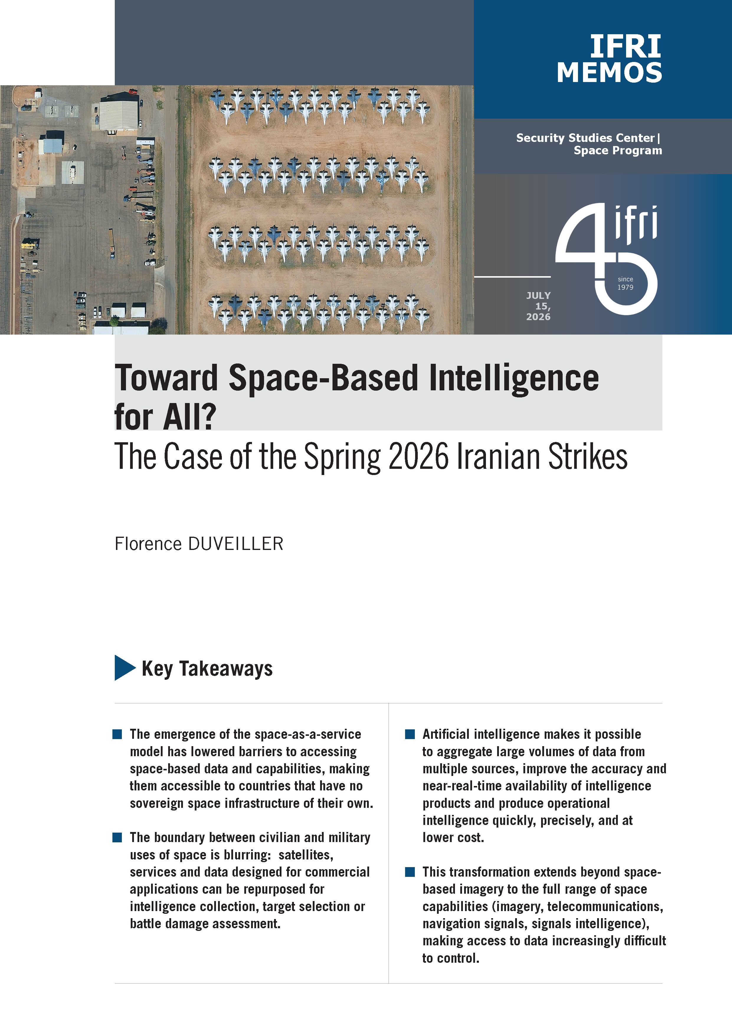
The company has published detailed, annotated satellite imagery of several US military sites, just before and during the war against Iran. For example, on February 27, 2026, the day before the war began, it released images of Prince Sultan Air Base in Saudi Arabia, showing the location of dozens of US aircraft. Less than 48 hours later, Iranian fire struck the base, gravely wounding a US service member who later died in hospital.
The published imagery and accompanying analyses provide a high level of detail and accuracy. The software automatically counts and tracks aircraft, and pinpoints hangars, fuel depots, missile batteries, radar sites, and troop concentrations.
The provenance of the imagery MizarVision uses is unclear. It may come from a combination of commercial and open sources; a substantial proportion likely originates from the Chinese Jilin-1 constellation operated by Chang Guang Satellite Technology Co. Once fully deployed, the constellation is expected to achieve a spatial resolution of less than 50 centimeters and a revisit time of approximately ten minutes. The aggregated data could also include imagery from Western commercial providers, among them Airbus, which some US politicians have criticized for allegedly making satellite imagery available to Iran. Airbus has formally rejected these allegations, stressing its strict compliance with sanctions and export-control regimes.
The Chinese government has denied any involvement, stating that Chinese companies are always required “to conduct their activities in accordance with laws and regulations” and that “the satellite images released by the companies concerned were obtained from open sources, a common practice on the market”.
A key strength of MizarVision’s offering lies in its integration of AI into the processing and analysis of satellite imagery. The company uses AI to aggregate large volumes of data in order to improve the accuracy and near real-time availability of the resulting intelligence products while reducing dependence on any single data source. In turn, this enables the company to produce operational intelligence quickly, at scale, on a large number of images, identifying objects such as aircraft, buildings and vehicles.
Even unclassified space-based imagery from commercial sources can yield intelligence of high military value once it is aggregated, automatically labeled, and disseminated quickly. An actor such as Iran could use this process to carry out operational targeting for its missile and drone systems.
A paradigm shift in access to data and space assets
Historically, space-based IMINT capabilities were concentrated in a small number of states (including the United States, Russia, France and China) with fully integrated space-based intelligence architectures. As in other areas of the space sector, this domain is being reshaped by the emergence of new actors and the widespread use of space-based data for civilian applications. The emergence of the space-as-a-service model has lowered barriers to accessing space-based data and capabilities that previously required substantial investment and were beyond the reach of most public and private actors. Under this model, customers, whether states or private companies, no longer need to acquire an entire space system, encompassing launch capabilities, orbital assets and ground infrastructure. Instead, they can purchase specific services or access the data generated by space systems. At the same time, the proliferation of commercial and open-source applications, combined with the integration of AI, has increased both the availability and usability of space-based data, including for military applications. The Iranian case thus looks less like an exception than like evidence of a structural transformation in the space domain and its role in armed conflict. Several trends emerge from this transformation.
Democratization of access to space data and the criticality of infrastructure
Historically, control over space-based capabilities provided a strategic advantage in intelligence collection, navigation and secure communications. The democratization of access to space-based data and services, driven by commercial providers, partnerships and open sources, has reduced the strategic advantage traditionally enjoyed by a few spacefaring powers.
As General Stephen Whiting, who heads US Space Command, explains, nearly every state now has access to space-based imagery and a near-continuous capacity to observe the Earth. Consequently, military planners must assume that adversaries can exploit space-based data, including commercially available imagery, to enhance situational awareness and improve operational effectiveness.
Space is no longer a strategic advantage in itself but an essential condition for modern military operations: for intelligence, communications and navigation. Losing space capabilities during a war would place a country at a serious disadvantage. This further increases the strategic importance of space infrastructure and makes space a domain of conflict in its own right. Space infrastructure is becoming a strategic target. This creates a dual imperative: to strengthen the protection of assets, both in orbit and on the ground, and to build resilient architectures based on redundancy and the geographic dispersion of sites, including beyond national territory.
Repurposing of civilian assets
Iran’s use of satellite imagery illustrates the growing reliance on civilian, commercial and open-source data for military applications. The TEE-01B satellite is a case in point, illustrating that a space platform is not inherently civilian or military. What ultimately determines its civilian or military purpose is how the platform and the data it produces are used.
The large-scale use of open-source intelligence (OSINT) for military applications is a second structural driver of change. Such shifts stem from the industrial model’s move toward space-as-a-service, which fragments the value chain and makes it easier to aggregate data from multiple sources.
In the case of imagery, this disintermediation makes it possible to aggregate data from multiple constellations, enhance the images, and interpret them to produce high-value intelligence. In some cases, commercial systems now achieve performance levels comparable to, and occasionally exceeding, those of certain military systems in terms of spatial resolution (in the order of 30 to 50 centimeters), revisit frequency (of a few hours), data volume, and multi-source fusion. These capabilities are now accessible to countries that possess no sovereign space infrastructure of their own.
The difficulty of establishing an international control mechanism
Efforts to regulate access to space-based imagery and data face major operational challenges. Control mechanisms do exist; in France, the Secrétariat général de la défense et de la sécurité nationale (SGDSN) oversees the release and sale of imagery. However, monitoring and controlling these data flows is becoming increasingly difficult and may eventually prove impractical.
A proliferating set of actors, public and private, Western and non-Western, can now produce or redistribute imagery data. This makes access hard to control. Restricting access to one source does not necessarily prevent access to alternative sources, including those available through intermediaries or actors operating under less stringent regulatory frameworks. Legally, each country sets its own rules and control mechanisms, which makes harmonization difficult. This challenge is further compounded by the broader trend toward relaxing international regulatory standards. In the future, only very-high-resolution data, captured by the military satellites of the few nations that possess the necessary technologies to produce it, will remain effectively controllable.
Impact on all capabilities of the space domain
Although recent media coverage has focused on the use of space-based imagery to support strikes against US bases, the normalization of access to space capabilities and their military use has implications across the full range of space capabilities.
Global Navigation Satellite System (GNSS)
Satellite positioning and navigation signals, from the American (GPS), European (Galileo), Russian (GLONASS), and Chinese (BeiDou) systems, have become indispensable for both civilian and military use. Military signals are generally more resistant to jamming and provide more accurate positioning, although access to these signals remains under the control of the states that operate the systems. Civilian signals remain broadly usable for military purposes, since the states operating these systems do not restrict which actors may use them.
Iranian strikes in early 2026 reportedly demonstrated greater accuracy than those conducted during the Twelve-Day War between Israel and Iran in June 2025. Some experts attribute this improvement to advances in missile guidance, enabled by access to China’s BeiDou GNSS.
Telecommunications
In Ukraine, the Starlink constellation has played a critical role in maintaining resilient military communications by supporting command-and-control chains, enabling drone operations, and transmitting tactical data despite attacks on terrestrial infrastructure. Commercial telecommunications services can provide redundancy for sovereign communication systems, as shown by the February 24, 2022, cyberattack on the Viasat network used by the Ukrainian command.
However, the growing involvement of private actors gives these companies direct influence over military operations, as illustrated in 2022 by Elon Musk’s refusal to switch on Starlink for a Ukrainian operation against the Russian fleet in Crimea. This trend blurs the line between civilian and military infrastructure.
Signals intelligence (SIGINT)
Capabilities traditionally associated with military SIGINT are increasingly becoming accessible to civilian actors too. The microsatellites operated by the French company Unseenlabs were initially developed to complement AIS-based maritime surveillance. By detecting radio-frequency emissions independently of AIS, they can also identify military vessels and so-called “dark vessels” that deliberately switch off their AIS transponders, detect submarines leaving naval bases, and locate emitting ground-based radars.
Conclusion
The Iranian strikes of spring 2026 reveal a deep transformation in military space-based intelligence. They show that access to space-based data and services is no longer the preserve of powers with sovereign capabilities alone; it is steadily reaching a growing number of actors. Strategic advantage therefore no longer rests solely on owning high-performance satellites. It increasingly depends on the ability to rapidly access diverse, timely and actionable data, and transform it into operational intelligence. Strategic advantage is therefore shifting from data acquisition toward the ability to fuse, process and exploit information at operationally relevant speed.
This paradigm shift is driven in part by the emergence of the space-as-a-service model, which lets actors acquire space capabilities as services or data without mastering the entire space chain. Highly advanced sovereign space capabilities retain significant strategic value, particularly when it comes to accessing sensitive and otherwise difficult-to-obtain data. The ability to combine sovereign, commercial and open-source data and to draw on external services when needed is now a decisive factor in resilience and operational effectiveness.
This shift reaches beyond imagery intelligence and now includes every space capability, from telecommunications to positioning and signals intelligence. It is gradually redrawing the roles of states and private actors, and it confirms that in today’s conflicts the challenge is no longer merely to own the best sensors, but to master the entire value chain of space-based intelligence.

Available in:
Themes and regions
ISBN / ISSN
Share
This page contains only a summary of our work. If you would like to have access to all the information from our research on the subject, you can download the full version in PDF format.
Toward Space-Based Intelligence for All? The Case of the Spring 2026 Iranian Strikes


Florence DUVEILLER
Military Fellow, Defense Research Unit of the Security Studies Center, Ifri


Security Studies Center
Heir to a tradition dating back to the founding of Ifri, the Security Studies Center provides public and private decision-makers as well as the general public with the keys to understanding power relations and contemporary modes of conflict as well as those to come. Through its positioning at the juncture of politics and operations, the credibility of its civil-military team and the wide distribution of its publications in French and English, the Center for Security Studies constitutes in the French landscape of think tanks a unique center of research and influence on the national and international defense debate.
Defense Research Unit
The Defense Research Unit is a program that aims at stimulating the strategic debate by dealing with subjects at the junction of the “technico-operational” and the “political-strategic”. A unique structure in France, it brings together civilian researchers and “military fellows” from each of the three armies to produce work on defense policies, the capability and strategic adaptation of armies, and foresight on tomorrow's conflicts.

Space Program
Space has become a crucial theme in the main international think tanks’ research activities as it entails important strategic, economic, and technological issues.
Since 2001, Ifri has integrated space in its research, notably by ensuring that the political dimension of scientific and human exploration programs is emphasized, and by supporting reflections on the Code of Conduct for Outter Space Activities.
Today, as part of its research agenda, Ifri mobilizes several of its centers and programs to transversally tackle the theme of space, through three main inputs:
- the competition of powers, driven by the Sino-American rivalry;
- critical points related to mastery of space, such as the issue of autonomous access to space or the mega-constellations necessary for the digital revolution;
- these developments’ challenges for Europe and its status as a space power.
Since the Summer 2020, Ifri has been coordinating a tripartite European Space Governance Initiative, together with two other renowned European think tanks: the Deutsche Gesellschaft für Auswärtige Politik (DGAP) in Germany and the Istituto Affari Internazionali (IAI) in Italy.

Confronting Russia’s High-Velocity Arsenal: European Challenges and Solutions
Since February 2022, Russian missile and long-range drone strikes against Ukraine have served as near-daily reminders of what European states could face in a war with Russia. The same weapon systems battering Ukrainian infrastructure and population centers would be directed against European military and civilian targets in any confrontation between Russia and NATO. As Russian missile production expands and its arsenal diversifies, Europe must confront an uncomfortable question: how to deter, and if push comes to shove, fight Russia's long-range strike arsenal?

The War on Terrorism: Global Experts Reflect on Lessons Learned Twenty-Five Years After 9/11
Twenty-five years ago, the September 11 attacks prompted the invention of new security architectures that shaped the war on terrorism. Sixteen think tank experts from fifteen countries reflect on the successes, failures, and missed opportunities in the fight against terrorism—a fight that is still ongoing.

From Corsairs to Private Military Contractors. Nonmilitary Maritime Actors and the Historical Continuities of Naval Warfare
Since late 2023, several Houthi attacks on commercial shipping have involved privately contracted armed teams conducting defensive engagements and coordinating immediate response efforts, often in the relative absence of regular naval forces during the immediate hostilities at sea. These cases highlight a strategic tension that increasingly confronts modern navies. On the one hand, they are expected to conduct persistent, low-intensity maritime security tasks such as counterpiracy, maritime policing, and the protection of commercial shipping. On the other hand, they face renewed pressure to prepare for high-intensity conflict against peer and near-peer adversaries amid the return of great power competition.

Framework Nation: A European Challenge and French Ambition
First appearing in the early 2000s, the framework nation concept follows several distinct rationales, whether it refers to a country assuming the leadership of a military operation, directing a multinational capability project, or commanding a permanent force structure. In every case, the country that takes on this role fully intends to derive from it additional politico-military influence.